Smart cities require better planning, efficient infrastructure, and accurate project information. Technologies such as Building Information Modeling (BIM) and Geographic Information Systems (GIS) are helping engineers and planners achieve these goals.
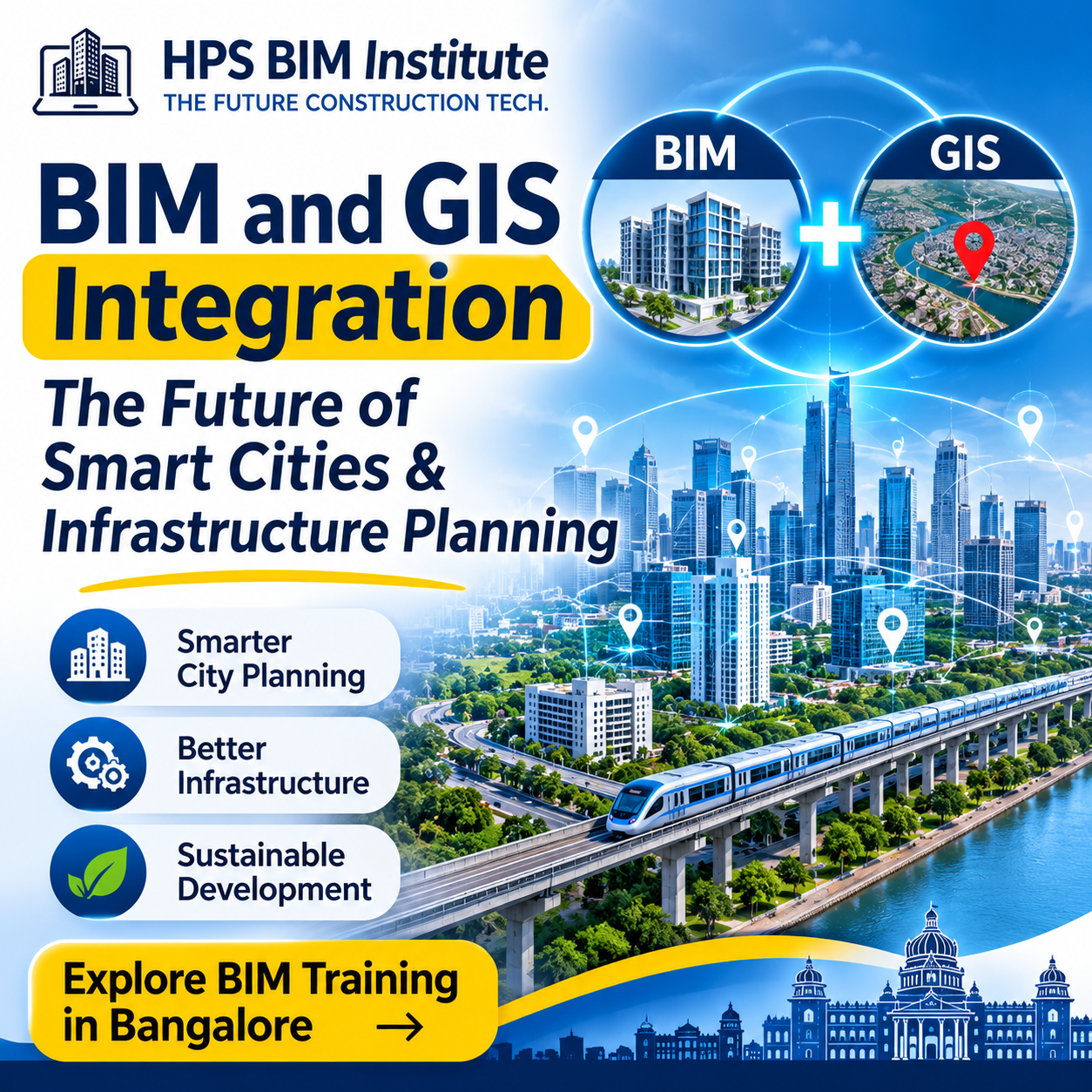
While BIM provides detailed 3D information about buildings and infrastructure, GIS connects project data with real-world geographic locations.
BIM and GIS integration brings these technologies together to improve infrastructure planning, project coordination, and urban development.
What Is BIM and GIS Integration?
BIM (Building Information Modeling) is used to create and manage digital models of buildings and infrastructure. It contains information about design, materials, quantities, and construction elements.
GIS (Geographic Information System) manages location-based information such as roads, land, terrain, utilities, and geographical features.
When BIM and GIS are integrated, project teams can connect detailed 3D models with real-world location data.
This helps engineers understand not only how a structure is designed but also how it fits into its surrounding environment.
5 Benefits of BIM and GIS Integration
1. Better Smart City Planning
BIM and GIS help urban planners understand buildings, roads, utilities, and land use within a common geographical context.
2. Improved Infrastructure Development
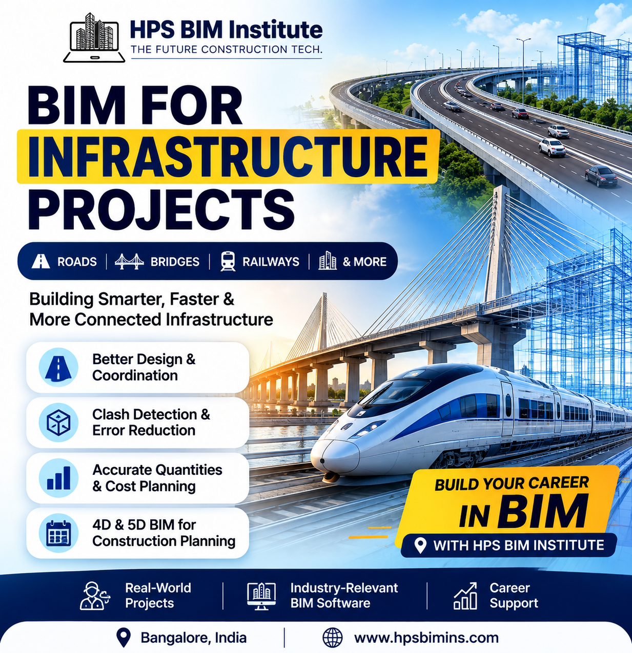
Engineers can use integrated information for planning roads, bridges, railways, drainage systems, and other infrastructure projects.
3. Better Project Coordination
Combining design models with geographical information helps project teams identify site-related challenges and make informed decisions.
4. Efficient Resource Management
GIS data and BIM models can support the planning of water supply, electricity networks, transportation, and other urban services.
5. Support for Sustainable Development
Integrated data can help planners study land use, environmental conditions, infrastructure requirements, and potential development impacts.
Applications of BIM and GIS in Construction
BIM and GIS integration has applications across several sectors:
| Industry | Application |
|---|---|
| Smart Cities | Urban planning and development |
| Roads and Highways | Route and terrain planning |
| Railways | Infrastructure and corridor planning |
| Water Management | Drainage and utility networks |
| Buildings | Site analysis and building context |
| Airports | Large-scale infrastructure planning |
These applications make BIM-GIS integration valuable for modern construction and infrastructure projects.
BIM vs GIS: What Is the Difference?
| BIM | GIS |
|---|---|
| Focuses on buildings and infrastructure models | Focuses on geographical information |
| Provides detailed 3D model information | Provides location and spatial data |
| Supports design and construction workflows | Supports mapping and urban planning |
| Used by architects and engineers | Used by planners and GIS professionals |
Both technologies have different purposes, but integrating them can provide a more complete view of infrastructure projects.
Software Used for BIM and GIS Integration
Some commonly used technologies include:
Autodesk Revit: Building and infrastructure modeling.
Autodesk Civil 3D: Civil infrastructure and terrain design.
Autodesk Navisworks: Model coordination and project review.
ArcGIS: Geographic data management and spatial analysis.
Autodesk InfraWorks: Infrastructure planning and conceptual design.
The software selected depends on project requirements, data formats, and the level of integration needed.
Why Should Civil Engineers Learn BIM?
The construction industry is increasingly using digital tools for design, coordination, and infrastructure development.
Learning BIM can help civil engineers develop practical skills in:
3D modeling and documentation
Infrastructure design workflows
Model coordination
Quantity estimation
Construction planning
Digital project delivery
At HPS BIM Institute, Bangalore, students and working professionals can explore industry-focused BIM training programs designed to build practical software skills.
Explore the BIM courses at HPS BIM Institute.
Civil engineers can also learn more about the BIM Professional Basic Program and the BIM Professional Master Program.
For Revit-focused learning, visit our Revit course in Bangalore.
Future of BIM and GIS Integration
As smart cities and infrastructure projects continue to develop, the need for connected digital information is growing.
BIM and GIS integration can support digital twins, infrastructure monitoring, urban development, and better project decisions.
For civil engineers and construction professionals, understanding BIM workflows can be an important step toward working in the evolving digital construction industry.
Frequently Asked Questions (FAQs)
1. What is BIM and GIS integration?
BIM and GIS integration connects detailed 3D building or infrastructure models with geographical data. It helps project teams understand designs within their real-world location.
2. How is BIM used in smart city development?
BIM supports the planning and management of buildings and infrastructure, while GIS provides geographical information. Together, they can support urban planning, utility management, and infrastructure development.
3. What is the difference between BIM and GIS?
BIM focuses on detailed building and infrastructure information, whereas GIS focuses on geographical locations and spatial data. Both can work together for better project planning.
4. Which software is used for BIM and GIS integration?
Commonly used tools include Autodesk Revit, Civil 3D, InfraWorks, Navisworks, and ArcGIS. The choice depends on the project and integration requirements.
5. Why is BIM important for civil engineers?
BIM helps civil engineers develop skills in 3D modeling, infrastructure design, project coordination, documentation, and digital construction workflows.
6. Where can I learn BIM in Bangalore?
You can explore BIM training programs at HPS BIM Institute, Bangalore. Visit the HPS BIM Institute courses page to review available programs and training details.
7. What is the future scope of BIM in infrastructure projects?
BIM is increasingly relevant to infrastructure planning, coordination, digital twins, and smart city development. Knowledge of BIM tools and workflows can help professionals adapt to changing industry requirements.
Conclusion
BIM and GIS integration is helping transform the way smart cities and infrastructure projects are planned and managed. By connecting 3D models with geographical information, project teams can improve coordination, planning, and decision-making.
For civil engineers and construction professionals, learning BIM is a valuable step toward understanding modern digital construction workflows.
Start developing your BIM skills with HPS BIM Institute, Bangalore.
Visit HPS BIM Institute to explore our training programs.